Photo by InstaWalli via Pexels
Scale your productproduct
with unlimited data.
Powering your data ecosystem with one-click connections and instant access.
Ready to connect your data?
Transform your data infrastructure with our unified platform approach to geospatial intelligence.
OUR VISION
Data Orchestrationfor the Modern Enterprise
The modern enterprise isn't focused on creating a single, brilliant analytic. They are heads-down on generating knowledge for their company, consistently and at scale. Frictionless knowledge orchestration, not off-the-shelf analytics, is the competitive edge.
Real-World Applications
See how our platform transforms data into actionable intelligence across critical sectors.

Photo by GEORGE DESIPRIS via Pexels
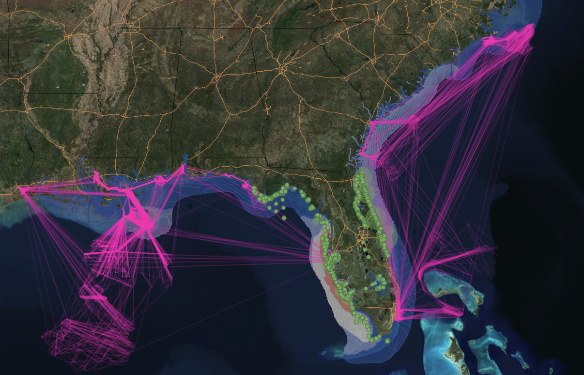
Natural Hazards
Emergency response and disaster management intelligence
Real-time monitoring and predictive analytics for natural disasters, enabling faster emergency response and better resource allocation during critical events.
Key Capabilities
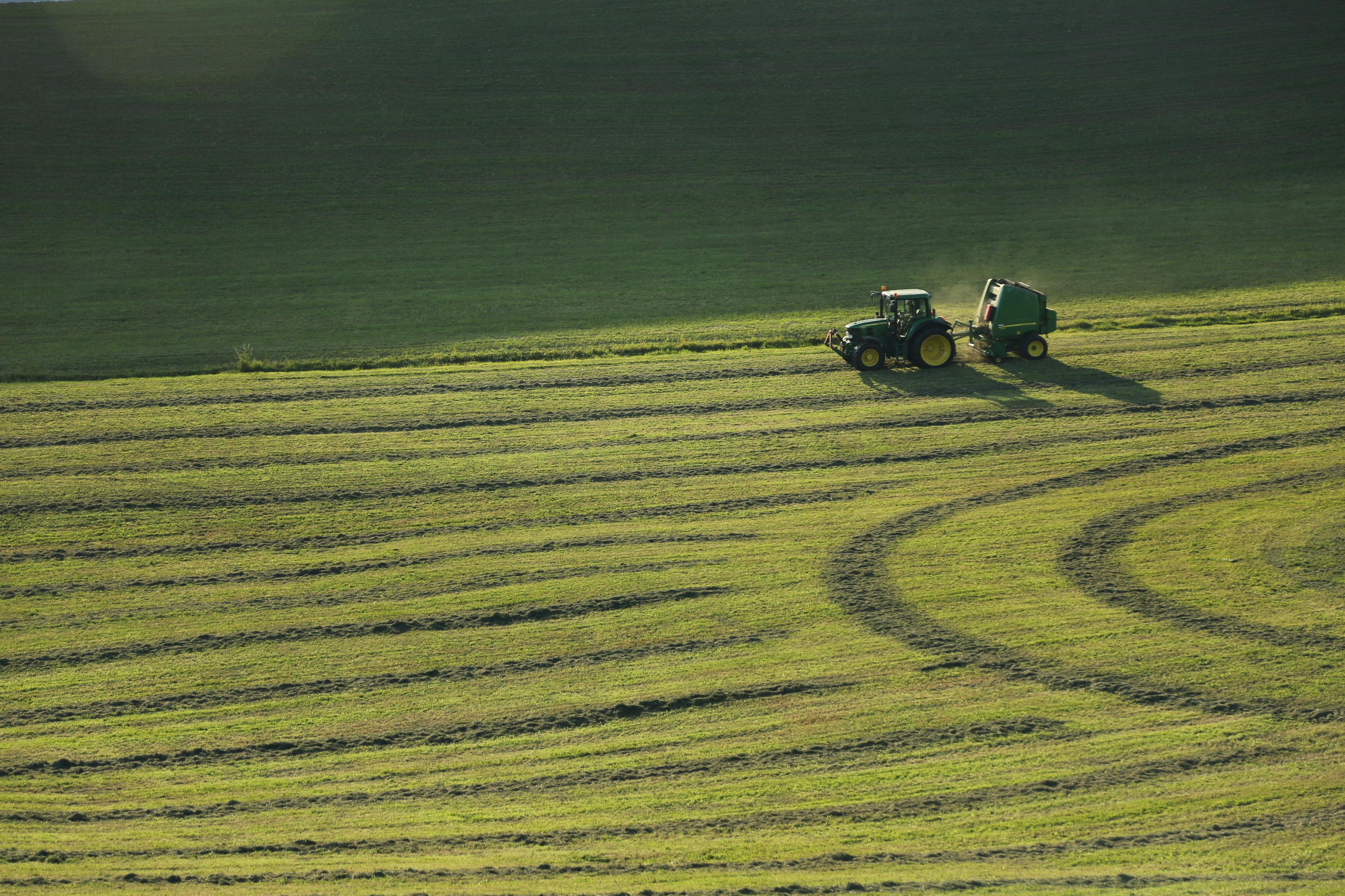
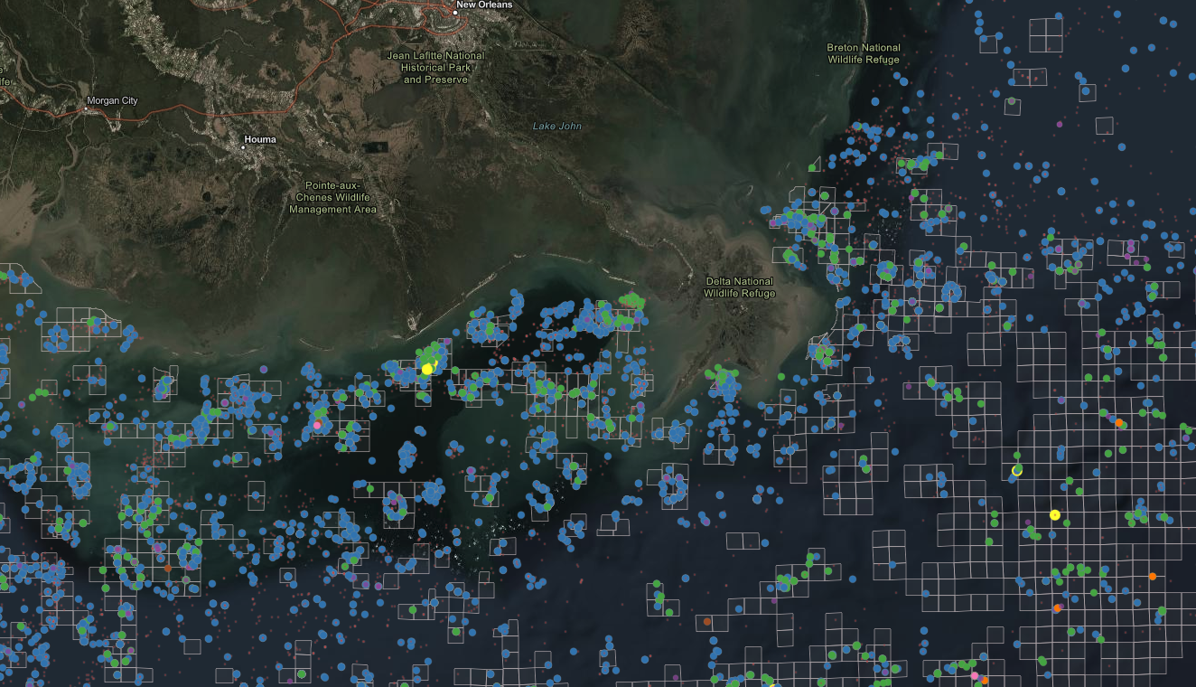
Commodities
Global supply chain and market intelligence
Track global commodity flows, supply chain disruptions, and market dynamics through integrated satellite imagery and trade data analysis.
Key Capabilities
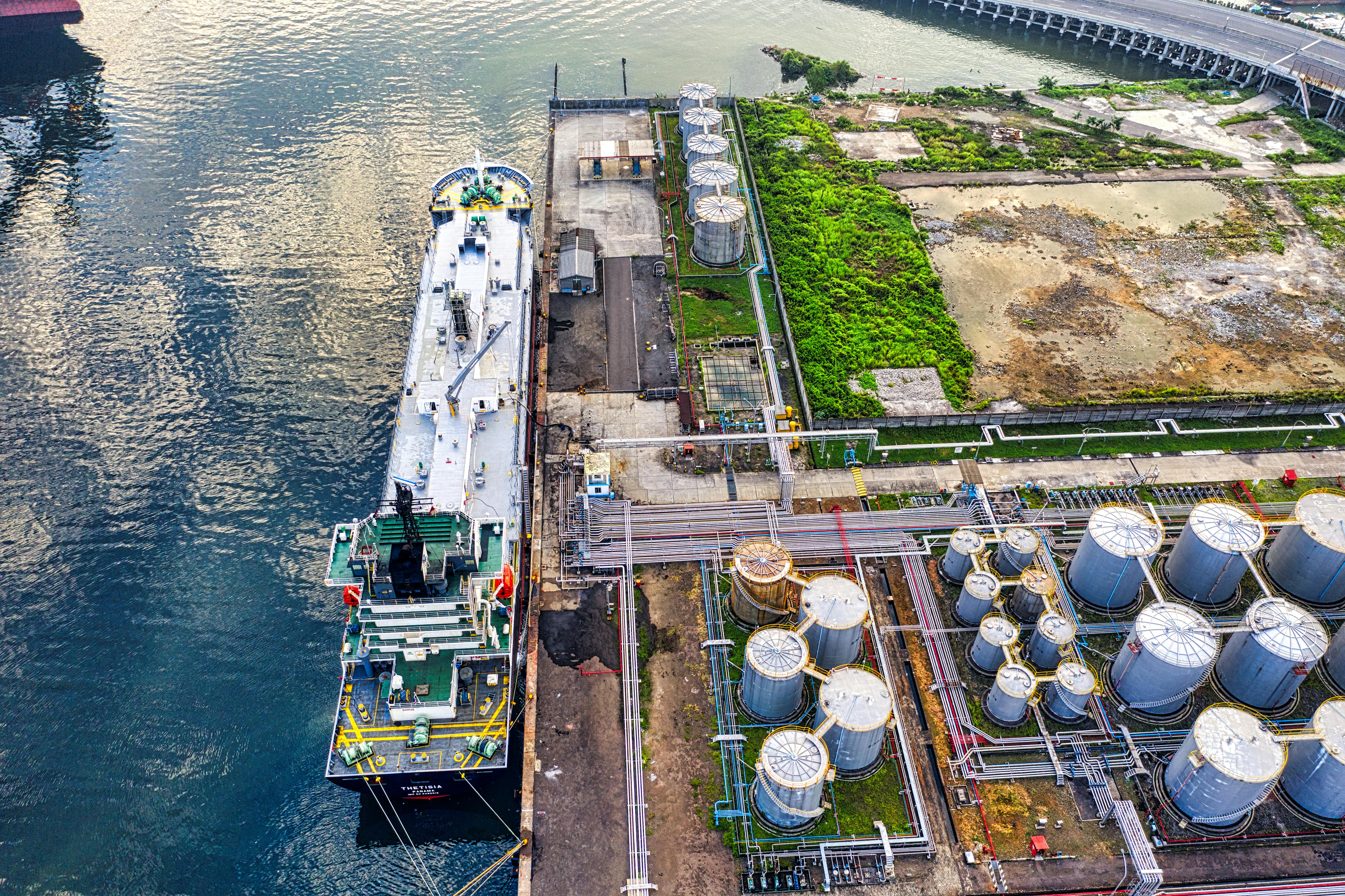
Energy
Infrastructure monitoring and risk assessment
Monitor critical energy infrastructure, assess operational risks, and optimize grid performance through comprehensive geospatial intelligence.
Key Capabilities
OUR APPROACH
Most platforms move or copy data. We don't. Our approach creates a virtual layer so you can query and share data without duplication or delay.
Hit the ground running with a selection of pre-built workflows:
Ready-to-deploy solutions that transform your data workflow from day one.
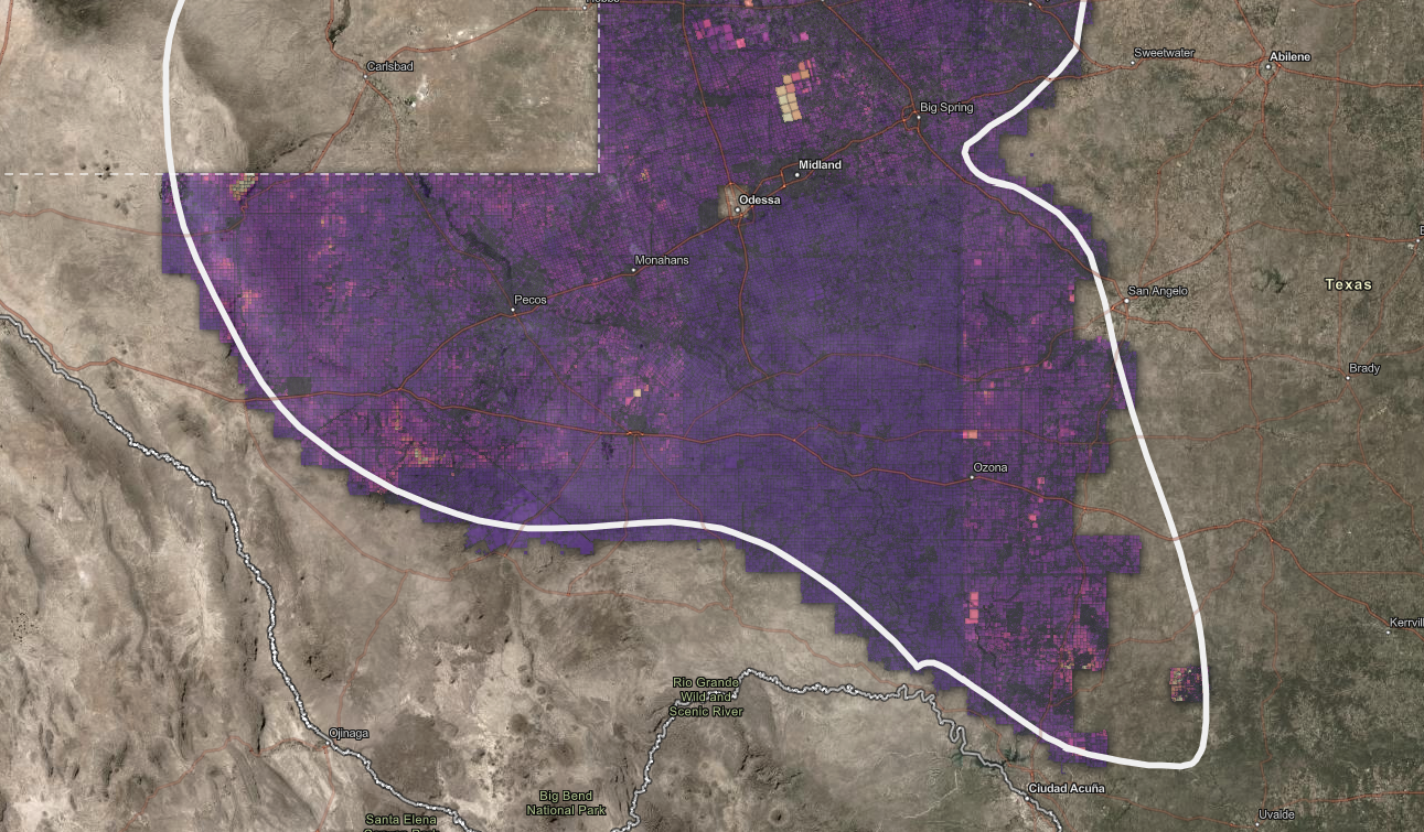
Zonal Statistics
Enrich billions of parcels with data from anywhere
Transform billions of parcels into enriched, actionable intelligence through advanced spatial analysis and multi-source data integration.
How it works
Connect to parcels and any other datasets you wish
Run 'Zonal Statistics' tool to enrich parcels with terabytes of information
View new datasets in a web map, dashboard, or other visualization application
Key Features
Ready to see it in action?
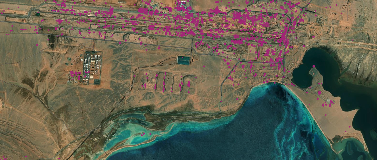
Surface Change Detection
Utilize satellite data to track changes on the ground over time
Never miss critical changes in your monitored areas again with advanced satellite-based change detection and automated alerting systems.
How it works
Connect to SAR satellite data
Run 'Change Detection' tool to capture changes on the ground
Share results in a web map, dashboard, or other visualization application
Key Features
Ready to see it in action?
Data Product Comparison
Highlight differences in location or attribute between overlapping subscription data products
Cut data costs by up to 40% while improving quality through intelligent comparison and deduplication of overlapping data sources.
How it works
Connect to two or more data sources you subscribe to
Run 'Unmatched Data' tool to highlight differences between billions of points
View original and unmatched datasets in web map, dashboard, other visualization application
Key Features
Ready to see it in action?
Latest Updates
Strategic intelligence insights, case studies, and platform updates


One-click data connections. Instant insights.
Our Geodesic platform streamlines your workflow with instant data access, dynamic manipulation, and seamless sharing across domains.
Request a Demo
We'll reach out within 24 hours to schedule your personalized demo.